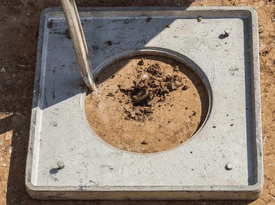
Reno grew fast after the Comstock Lode, but the ground underneath tells a longer story. The Truckee Meadows basin is filled with unconsolidated Quaternary alluvium washed down from the Sierra Nevada. Loose sands, silts, and gravels interbedded with clay lenses. That mix, plus a water table that sits less than 10 feet deep in many parts of town, creates textbook conditions for soil liquefaction analysis. When the next range-front earthquake hits, the saturated fine sands won't drain fast enough. Pore pressure spikes. Strength vanishes. We've seen the boring logs. We've run the cyclic triaxial tests. And we know that standard penetration resistance alone doesn't tell the full story here. A proper CPT test can map the stratigraphy continuously and catch thin loose layers that SPT spoon samples miss, which matters when you're designing foundations near the river corridor or along the I-80 industrial strip.
Liquefaction in Reno isn't a textbook problem. It's a basin-by-basin, layer-by-layer judgment call.
Service characteristics in Reno
Demonstration video
Typical technical challenges in Reno
The IBC references ASCE 7 Chapter 20 for seismic site classification and liquefaction evaluation. In Reno, where Site Class D and E profiles dominate the basin, these requirements stop being abstract regulatory boxes. They become direct engineering demands. We've reviewed projects near the airport where a Site Class E profile required a full liquefaction triggering analysis, not just a screening. The loose sands start at eight feet depth. Water at six. That geometry leaves almost no non-liquefiable crust to support shallow footings. If the analysis shows a factor of safety below 1.1 for the design earthquake, the code pushes you toward ground improvement or deep foundations. Ignoring the evaluation means accepting post-earthquake settlements that can tilt a steel frame building past serviceability limits. The local building department expects a signed report.
Our services
We tailor each soil liquefaction analysis to the site stratigraphy and the project's structural demands.
Triggering and Settlement Analysis
We run SPT- and CPT-based triggering methods (Boulanger & Idriss, Moss et al.) to estimate factor of safety against liquefaction and calculate post-shaking consolidation settlements, layer by layer.
Cyclic Laboratory Testing
We perform cyclic triaxial tests (ASTM D5311) on undisturbed samples from critical layers to measure excess pore pressure generation and cyclic resistance ratio directly, rather than relying solely on empirical correlations.
Mitigation Verification
We design testing programs to verify the effectiveness of stone columns, vibrocompaction, or deep soil mixing, running before-and-after CPT soundings to confirm the increase in tip resistance and reduction in liquefaction potential.
Common questions
What does a soil liquefaction analysis for a Reno site typically cost?
A full evaluation, including field testing and laboratory cyclic triaxial work, runs between US$2,620 and US$3,730 depending on the number of borings, sample depth, and the complexity of the triggering analysis. Sites with highly interbedded stratigraphy require more lab tests.
How does the shallow groundwater in Reno affect the liquefaction risk?
Shallow groundwater, often within six to ten feet of the surface in the Truckee Meadows, saturates the loose sands and silts. Saturated granular soils are the prerequisite for liquefaction. A deeper water table would provide a non-liquefiable crust, but in much of Reno that crust is thin or absent, so the risk concentrates close to the foundation level.
Do I need a site-specific analysis or can I use the USGS liquefaction hazard maps?
The USGS maps are a screening tool. The City of Reno and Washoe County require a site-specific evaluation per IBC for any structure in Seismic Design Category D or higher. The basin stratigraphy varies over short distances, so a boring-based analysis is the only way to get a defensible factor of safety for your foundation design.